Search a hike or location
Hiking with one of our premium maps can not only help you stay safe and informed on what’s up next, but can also make your hike more interesting with tonnes of local and regional information that you won’t get anywhere else.
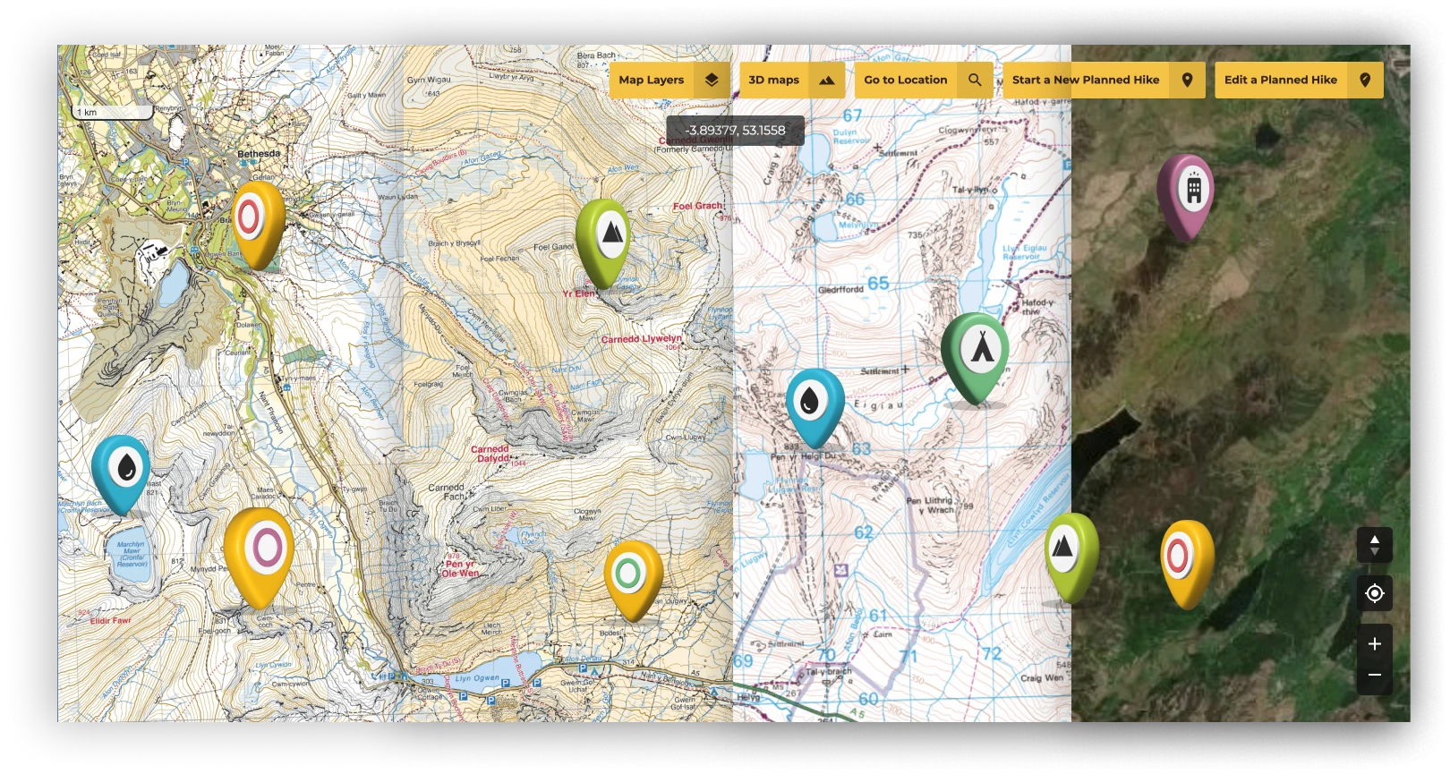
Open Street Map (OSM)
Ordnance Survey Ireland (OSi)
Federal Office of Topography Switzerland
VicMaps
Ordnance Survey Northern Ireland (OSNI)
Land Information System Tasmania (LIST)
US Forest Service
Land Information New Zealand (LINZ)
Getlost Maps
Edizioni Il Lupo
Ordnance Survey Great Britain (OSGB)
Harvey Maps
Fraternali Editore
EastWest Mapping
IGN Spain
Institute of Geographic and Forest Information France
United States Geological Survey (USGS)
Choose which optional cookies and similar technologies HiiKER can use on this device. Privacy & cookie policy
Sign-in, security, checkout, support chat when you open it, and remembering these choices.
Google Analytics and PostHog (our own EU-hosted analytics) — which pages are visited and how features are used, so we can improve HiiKER.
Google Ads, Meta, Reddit and X pixels and Rewardful referral tracking — they tell those platforms when someone arrives from, or buys after, one of our ads or referrals. Turning this off opts you out of the "sale" or "sharing" of your personal information for targeted advertising.